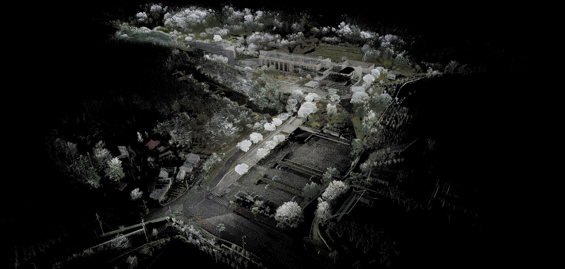
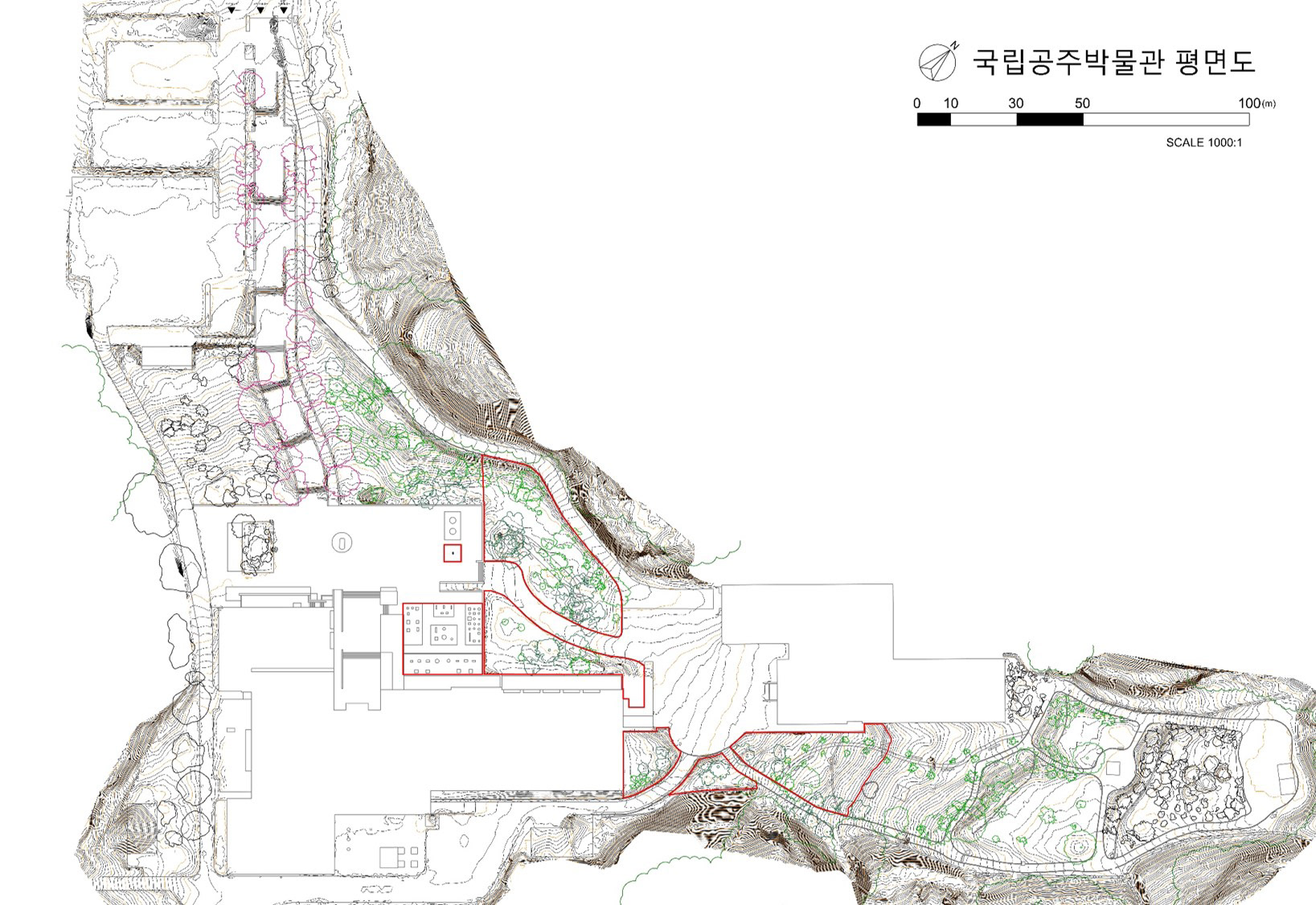
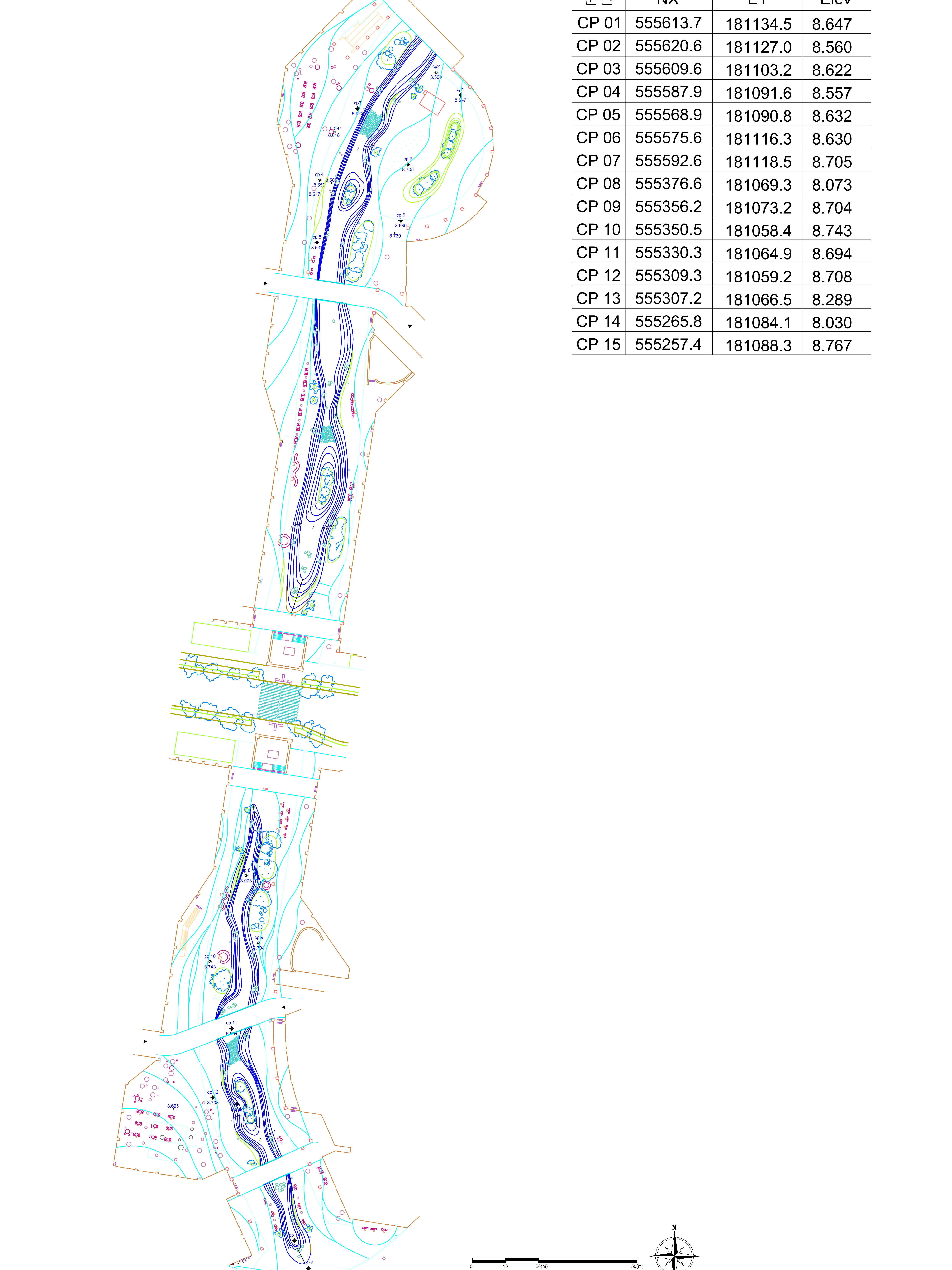
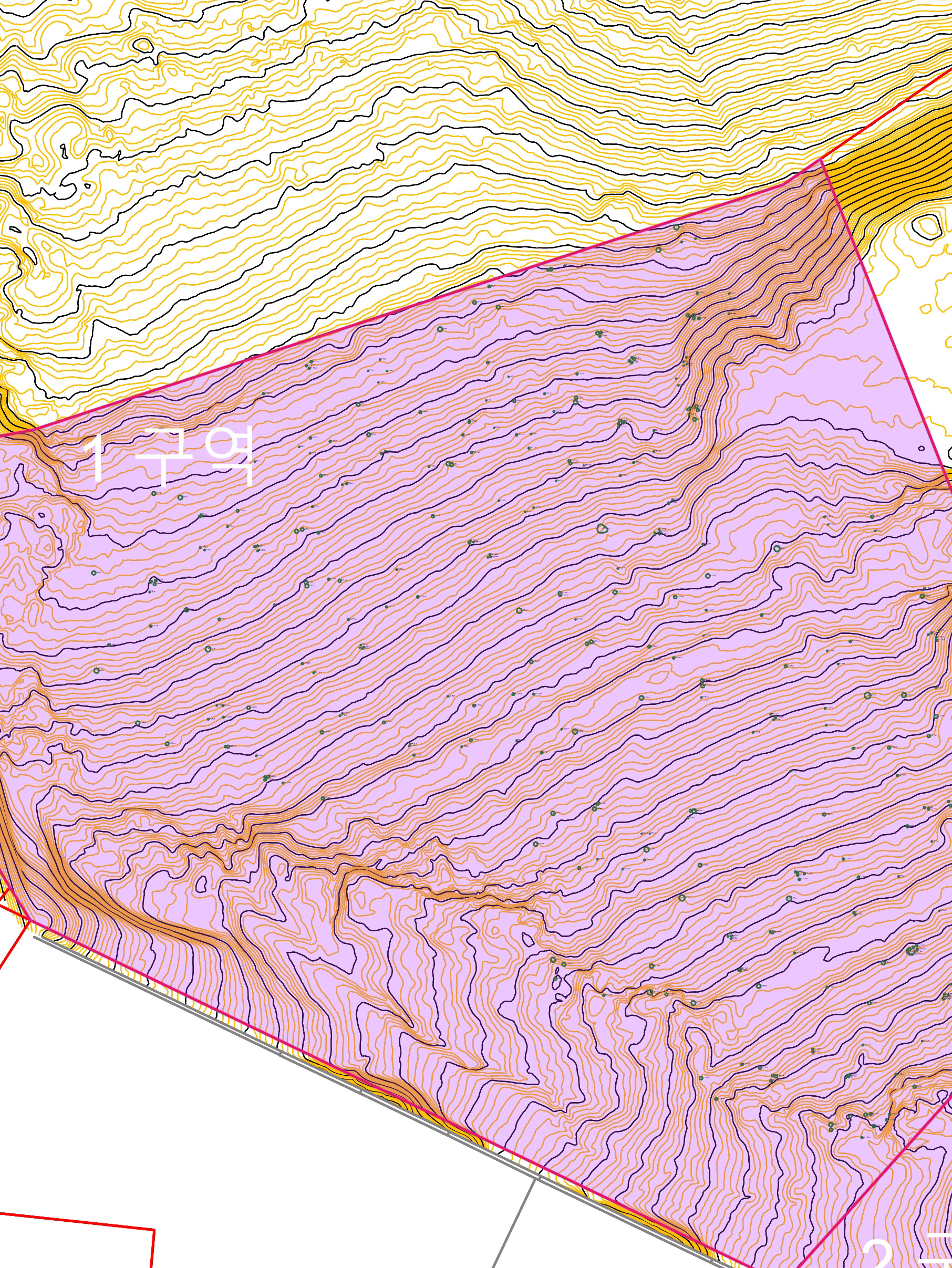
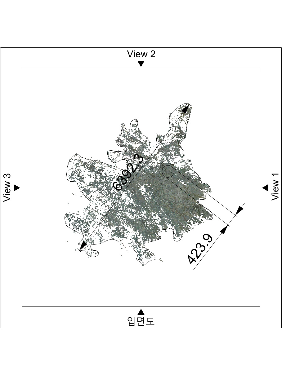
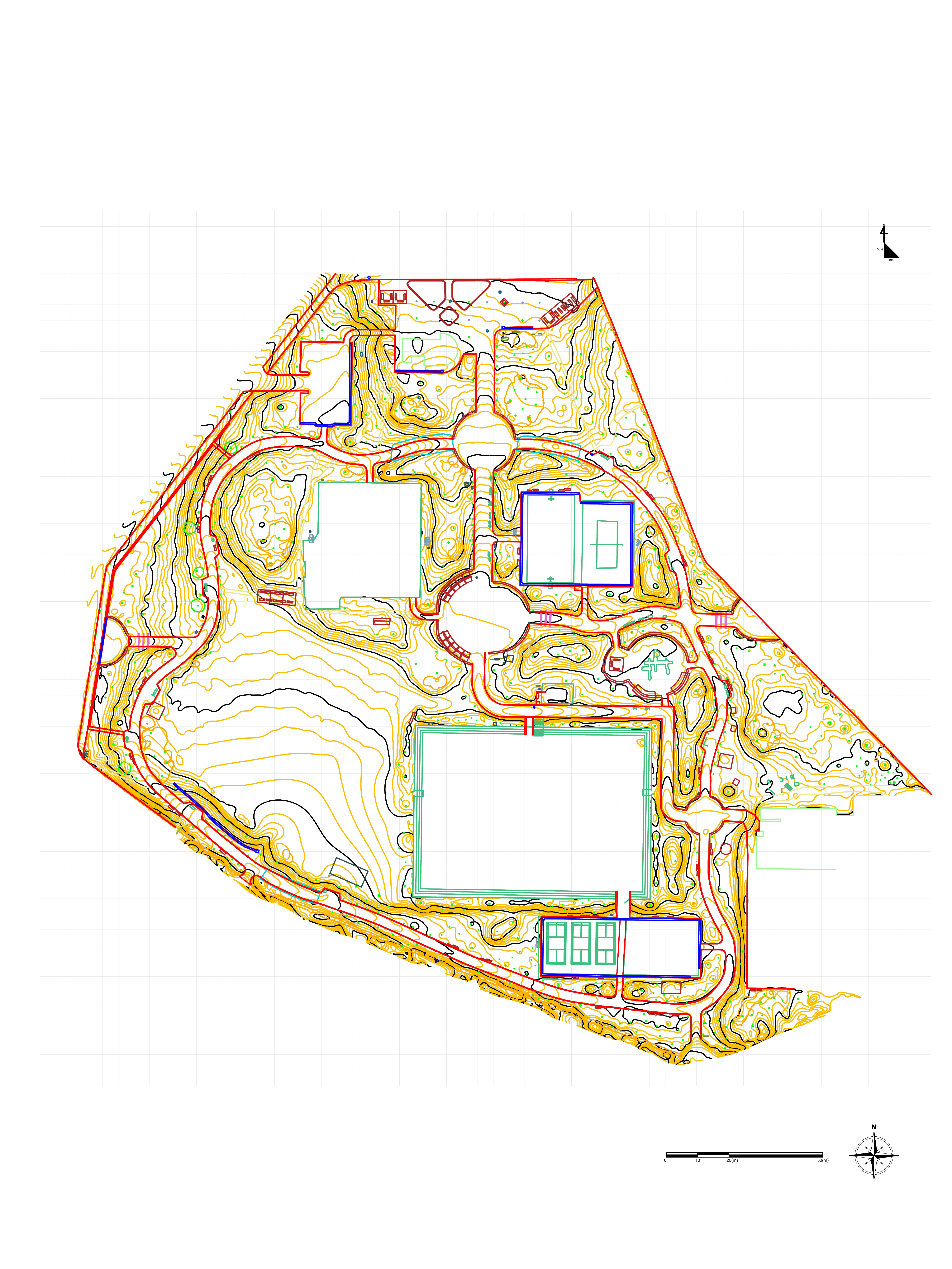
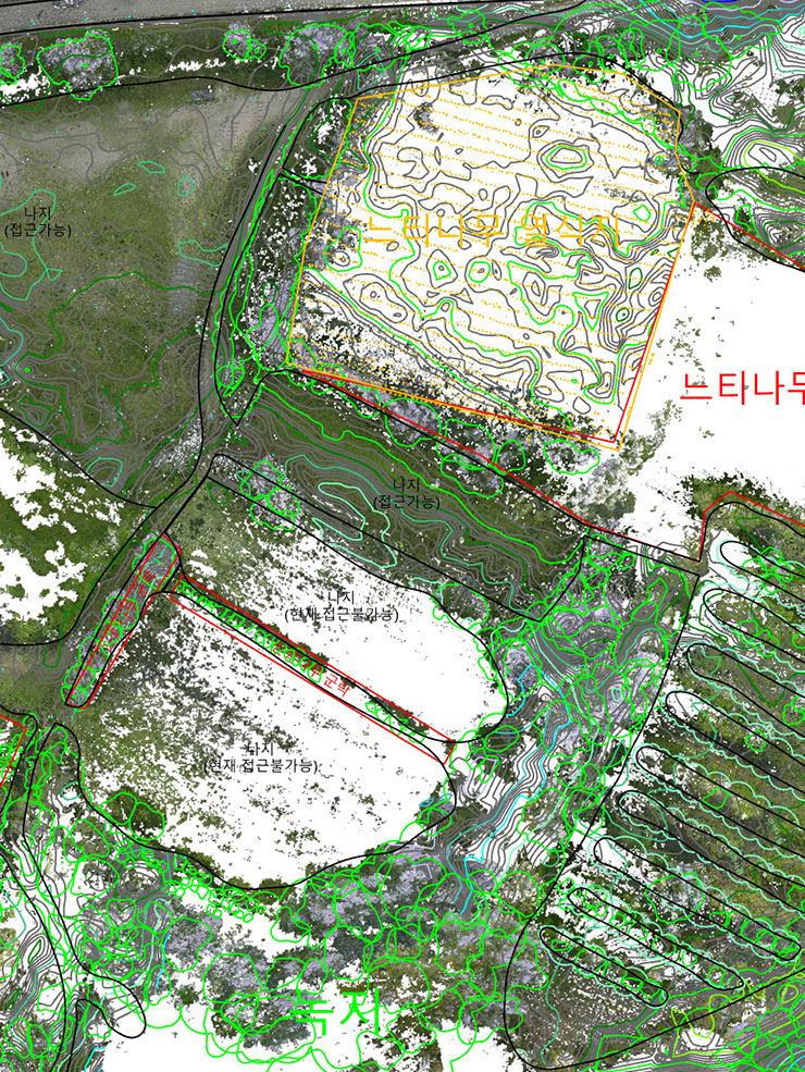
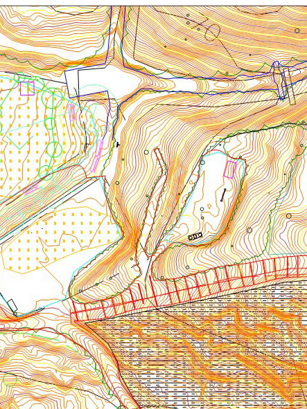
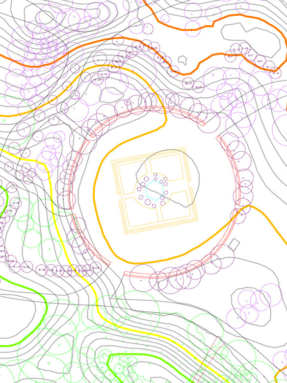
장소의 가치 요소가 많을수록 조경 설계는 더 복잡해진다. 숲이 아름다운 산자락이나 지형적 조형미가 뚜렷한 대상, 혹은 건축 잔해를 활용하는 경우가 그렇다. 국립공주박물관 프로젝트 역시 이러한 조건을 지니고 있었다. 우리는 현장을 지상 LiDAR로 정밀 스캔해 디지털 트윈을 구축했고, 이를 통해 설계 도면은 현장의 가치를 반영한 기준선으로 기능했다. 그 결과 설계와 시공 전 과정에서 일관된 검증과 조율이 가능했다. The more value-laden a site is, the more complex its landscape design becomes. This is true for forested slopes, sites with distinct topographic form, or projects involving architectural remnants. The National Gongju Museum project presented such conditions. By conducting high-precision terrestrial LiDAR scanning, we established a digital twin of the site. This provided a baseline that reflected the site’s intrinsic value, enabling consistent verification and coordination throughout the design and construction process.